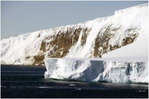
NASA's new research has revealed that increasing Antarctica's sea ice cannot cover up for Arctic's declining sea ice.

Claire Parkinson, climate scientist at NASA’s Goddard Space Flight Center in Greenbelt, said that even though Antarctic sea ice reached a new record maximum this past September, global sea ice was still decreasing because the decreases in Arctic sea ice far exceed the increases in Antarctic sea ice.
The global ice decrease has accelerated: in the first half of the record (1979-96), the sea ice loss was about 8,300 square miles (21,500 square kilometers) per year. This rate more than doubled for the second half of the period (1996 to 2013), when there was an average loss of 19,500 square miles (50,500 square kilometers) per year - an average yearly loss larger than the states of Vermont and New Hampshire combined.
Sea ice has diminished in almost all regions of the Arctic, whereas the sea ice increases in the Antarctic are less widespread geographically. Although the sea ice cover expanded in most of the Southern Ocean between 1979 and 2013, it decreased substantially in the Bellingshausen and Amundsen seas. These two seas are close to the Antarctic Peninsula, a region that has warmed significantly over the last decades.
Parkinson also showed that the annual cycle of global ice extents was more similar to the annual cycle of the Antarctic ice than the Arctic ice. The global minimum ice extent occurs in February of each year, as does the Antarctic minimum extent and the global maximum sea ice extent occurs in either October or November, one or two months after the Antarctic maximum.
This contrasts with the Arctic minimum occurring in September and the Arctic maximum occurring in March. Averaged over the 35 years of the satellite record, the planet’s monthly ice extents range from a minimum of 7.03 million square miles (18.2 million square kilometers) in February to a maximum of 10.27 million square miles (26.6 million square kilometers) in November.
Advertisement
The study is published in the Journal of Climate.
Advertisement


